

Hong Kong Island Map Guide
Navigate Hong Kong Island with confidence using our comprehensive map guide. From the financial hub of Central to the shopping paradise of Causeway Bay, discover the island's distinct districts, key transportation routes, and major attractions.
🗺️ Key Districts Overview
Central: Business district, IFC Mall, ferry piers, Peak Tram station
Admiralty: Government offices, Pacific Place, MTR interchange
Wan Chai: Convention Centre, Golden Bauhinia Square, dining scene
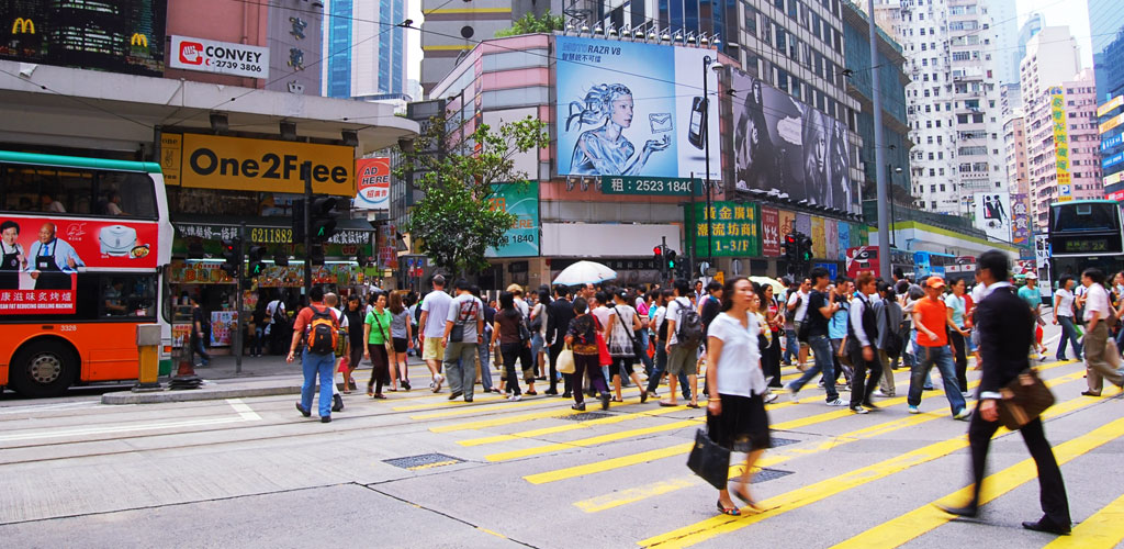
Causeway Bay: Shopping malls, Times Square, Victoria Park
North Point: Local markets, traditional neighborhoods
Quarry Bay: Cityplaza, Taikoo Shing, residential areas
Transportation Network
Hong Kong Island is efficiently connected by the MTR Island Line, running from Kennedy Town in the west to Chai Wan in the east. Key interchange stations include Central (connection to Tsuen Wan Line) and Admiralty (connection to South Island Line and Tsuen Wan Line).
- MTR Island Line Stations: Kennedy Town, HKU, Sai Ying Pun, Sheung Wan, Central, Admiralty, Wan Chai, Causeway Bay, Tin Hau, Fortress Hill, North Point, Quarry Bay, Tai Koo, Sai Wan Ho, Shau Kei Wan, Heng Fa Chuen, Chai Wan
- South Island Line: Admiralty to Ocean Park and South Horizons
- Peak Tram: Central to Victoria Peak
- Historic Trams: East-west route through major districts
🚢 Ferry Connections
Central Pier: Ferries to Tsim Sha Tsui, outlying islands
Wan Chai Pier: Ferries to Tsim Sha Tsui
Aberdeen: Ferries to Lamma Island, Po Toi Island
Major Attractions by Area
- Victoria Peak: Sky Terrace 428, panoramic city views
- Central: IFC Mall, Hong Kong Park, Legislative Council
- Stanley: Stanley Market, Murray House, beaches
- Aberdeen: Floating restaurants, Ocean Park nearby
- Repulse Bay: Beach, luxury shopping, residential area
📱 Navigation Tips
Download the MTR Mobile app for real-time train information. Google Maps works excellently in Hong Kong. Consider getting an Octopus Card for seamless travel across all public transport.
For detailed transportation guides between specific areas, visit our transportation section. For specific district information, explore our guides to Central and other neighborhoods.